
Beyond Drones. Into Autonomy.
We are building DRISHTI, a fully autonomous aerial surveillance ecosystem combining
AI-powered drones, smart docking stations, and intelligent mission-control software.
Autonomous Operations
Remote mission management with minimal human intervention. Designed to automate launch, flight, return, docking, charging, and redeployment.
Onboard AI
Embedded computing brings AI perception and mission specific processing onto the drone, supporting responsive decisions without relying on continuous remote processing.
Smart Docking and Charging
A protective docking station for secure drone storage, automated landing, contactless inductive charging, and dock to drone communication.
GPS + RTK Precision Navigation
GPS and RTK positioning support precise drone navigation and landing, complemented by custom landing markers and sensor fusion for reliable recovery.
Multimodal Perception
Configurable RGB, thermal, LiDAR, and stereo vision sensors can be combined for mission specific awareness, navigation, inspection, and detection.
Swarm Coordination and Rapid Response
A scalable approach to coordinating multiple drones, expanding surveillance coverage, and supporting persistent operations and rapid deployment.
Built for Real-World Missions
DRISHTI is being developed to provide persistent aerial awareness, autonomous deployment, and remote surveillance management across security, infrastructure, and emergency response operations.

Border Surveillance and Defence
Support aerial surveillance of border regions, remote terrain, and strategic perimeters to improve situational awareness across geographically challenging environments.
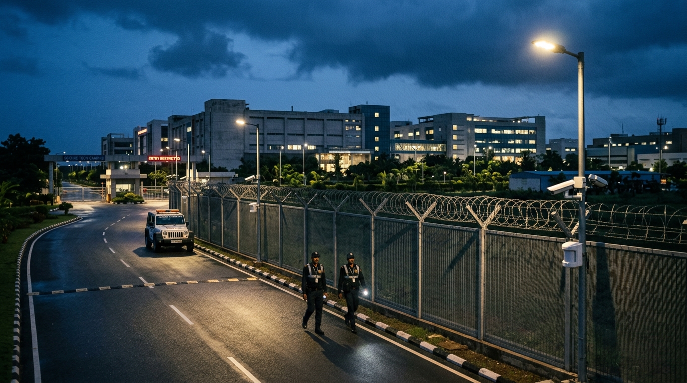
Perimeter Security
Monitor facility boundaries, restricted zones, industrial campuses, and secured sites through remotely managed aerial patrols and persistent site observation.

Search & Rescue Missions
Support search operations, emergency assessment, and disaster response through rapid aerial reconnaissance of affected areas, difficult terrain, and locations requiring urgent attention.

Public Safety and Law Enforcement
Assist public safety operations with aerial situational awareness for incident assessment, crowd monitoring, search operations, and police coordination, subject to applicable permissions.
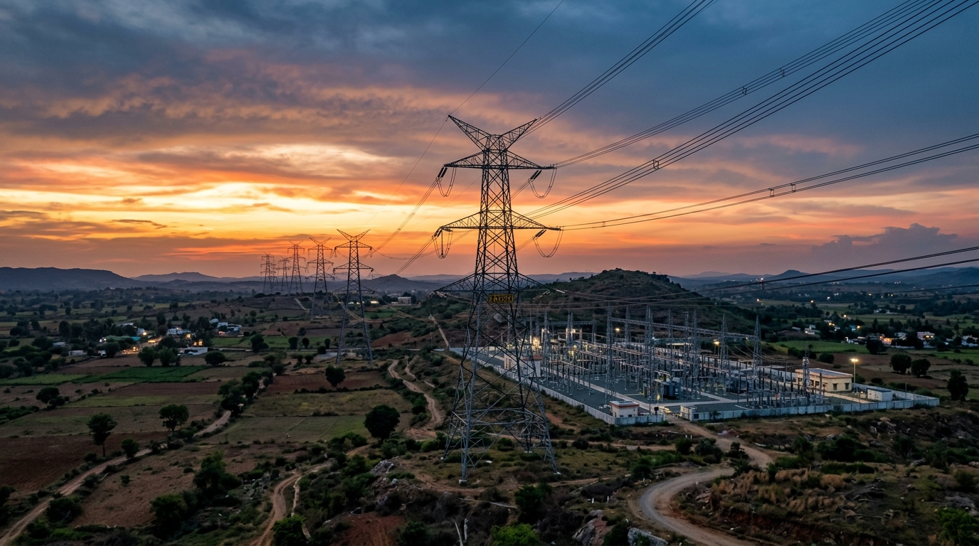
Critical Infrastructure Surveillance
Support monitoring of power grids, transport networks, communication facilities, and other essential infrastructure to improve visibility across geographically distributed assets.

Industrial Inspection
Support the inspection of industrial plants, manufacturing facilities, remote installations, and hard-to-access equipment to help operators assess assets and identify potential issues.
Recognised. Supported. Building.
Inferbyte is developing indigenous autonomous aerial infrastructure through startup incubation programmes and recognised innovation initiatives.
MSME Idea Hackathon 5.0
Selected under the national MSME Idea Hackathon 5.0 initiative by the Ministry of MSME, Government of India.
STPI OctaNE CoE
Selected under the STPI OctaNE programme, supporting technology-led innovation in GIS applications, including drone technology, under the Ministry of Electronics and Information Technology (MeitY).
Boeing BUILD 5.0
Regional finalist in Boeing BUILD 5.0 under FITT, IIT Delhi.
INCUBATION & ECOSYSTEM AFFILIATIONS
STPI
Software Technology Parks of India.
NASSCOM CoE
IoT and Artificial Intelligence Innovation Hub.
OPJU IC
OP Jindal University Innovation Center
GTU TBI
Technology Business Incubator at Gujarat Technological University.
Engineering Autonomous Aerial Infrastructure
Inferbyte Technologies Private Limited is an Indian deep-tech startup building intelligent robotics, embedded AI, and autonomous aerial infrastructure. As a bootstrapped company, we are developing DRISHTI through practical engineering, integrated hardware and software, and a strong focus on real-world applications and scalable deployment.
DRISHTI brings together AI-powered drones, autonomous docking and charging, precision navigation, and intelligent mission-control software into a unified aerial infrastructure platform. Our goal is to make persistent aerial operations more reliable, easier to deploy, remotely manageable, and scalable across industrial, infrastructure, security, and other mission-critical applications.
Have a question, exploring a partnership, or interested in what we're building?We'd love to hear from you.